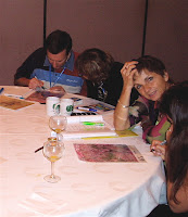
 This morning I did a workshop "Quantifying Change with Landsat" for the Seasons and Biomes project during the GLOBE annual conference in San Antonio, TX. We had forty participants from the US, France, Russia, Lebanon, UK, Argentina, Thailand, Mexico and more. While I have quite a bit of experience with Landsat, I am new to Seasons and Biomes and the quantifying change exercise. Elena Sparrow, the principle investigator of Seasons and Biomes gave an overview of the project.
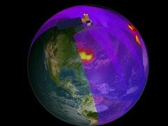
We continued with an overview of how NASA uses satellites to study the Earth and focused on the Earth System, the interaction of land, water, air and life. For our engagement activity we did the landform quiz; projecting different landsat images and having participants at each table try to identify the landforms and setting of each satellite ima
 ge. Here are some of the images that we used in the quiz. All are from the Landsat family of satellites that fly 700 km above the earth's surface.
What do you see? Do you know where these places are?
We had quite a lively discussion about the Landsat images and some very interesting interpretations. By the time we finished this activity our participants were ready to learn more about the how and why of Landsat. And yes, I did give them the answers!


No comments:
Post a Comment